


Alternative Products

Arkio
Arkio is a collaborative spatial design tool that offers a unique blend of virtual reality (VR), augmented reality (AR), and traditional desktop/mobile interfaces. It provides a platform for architects, designers, and stakeholders to quickly sketch out ideas in 3D, iterate on designs within an immersive environment, and review models at human scale. Arkio works with popular 3D modeling tools like Revit, SketchUp, Rhino, and BIM 360, allowing easy import/export of models. The focus is on speed, flexibility, and collaborative design exploration across a range of devices.expand_more
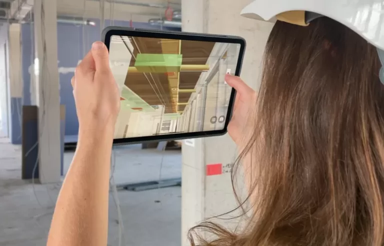
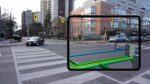
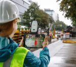
Gamma AR
Augmented Reality for Construction Site Monitoring and Documentation. Explore the future of construction with GAMMA AR
Witness your designs come to life as you explore them in real-time, overlaying them onto the actual construction site. With this level of visualization, you can identify clashes, optimize layouts, and make informed decisions. Take control of your projects like never before and deliver results that exceed expectations
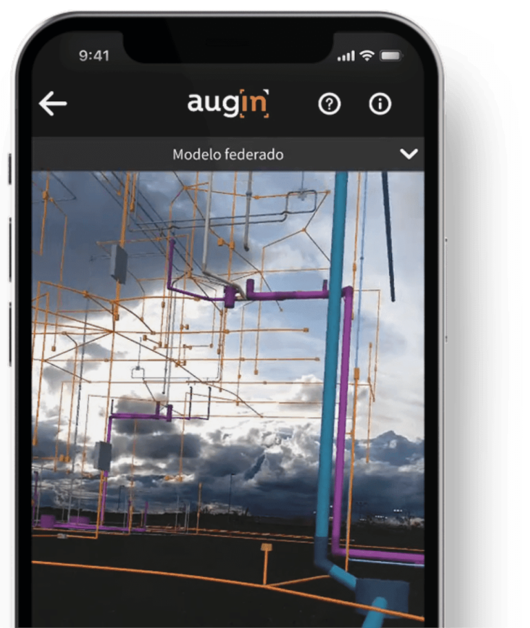
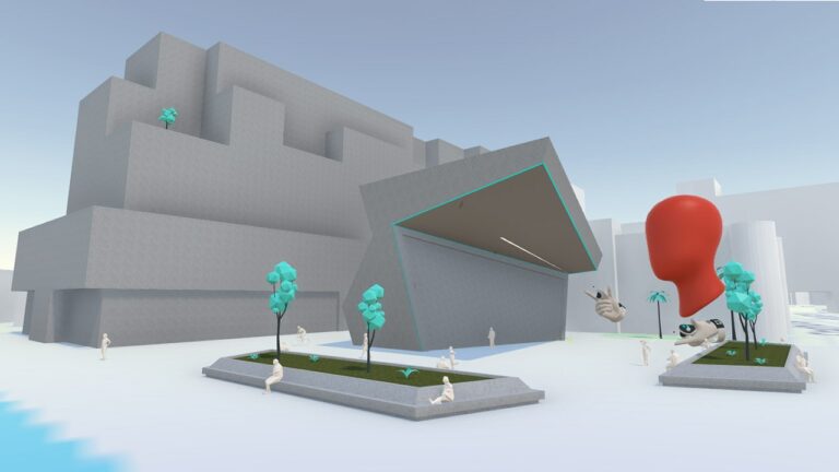
Augin
The Augin platform places your projects in an immersive collaborative environment. We seek to optimize your communication, with customers and employees, on a day-to-day basis.
CLOUD SERVICE
Seamlessly share your projects with everyone, anywhere.
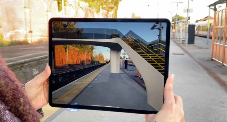
AUGMENTED REALITY
Ensure a more interactive and realistic format and viewing experience for your project.
SPEED
View and check your projects fluidly, our file format allows large projects to be opened in seconds.
INTERACTION WITH YOUR TEAM
Visualize your project at human scale and together with others in an immersive environment.

ARki
ARki is an augmented reality (AR) platform designed to help architects, designers, and engineers visualize 3D projects in real-world environments. It allows users to import 3D models from common design software, place those models at scale in the physical world using their mobile device, share design iterations with others, and collaborate in real-time on design ideas.