
Showing all 5 results

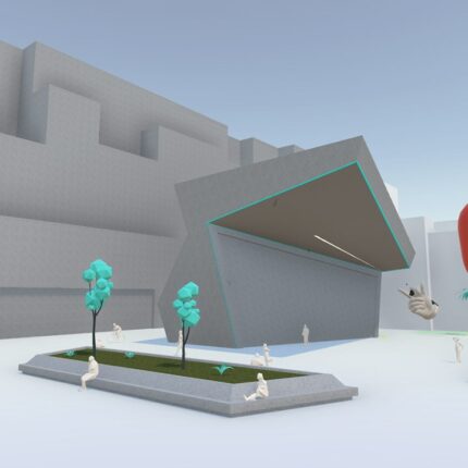
Arkio
Arkio is a collaborative spatial design tool that offers a unique blend of virtual reality (VR), augmented reality (AR), and traditional desktop/mobile interfaces. It provides a platform for architects, designers, and stakeholders to quickly sketch out ideas in 3D, iterate on designs within an immersive environment, and review models at human scale. Arkio works with popular 3D modeling tools like Revit, SketchUp, Rhino, and BIM 360, allowing easy import/export of models. The focus is on speed, flexibility, and collaborative design exploration across a range of devices.expand_more
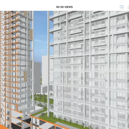
BIMx
BIMx is a software suite from Graphisoft that provides tools for viewing, presenting, and collaborating on Building Information Models (BIM) created in ArchiCAD. It includes desktop applications, mobile apps (iOS/Android), and a web viewer, allowing both design professionals and non-technical users to interact with 3D models, access embedded project data, create hyper-realistic presentations, and navigate BIM models in a game-like environment.
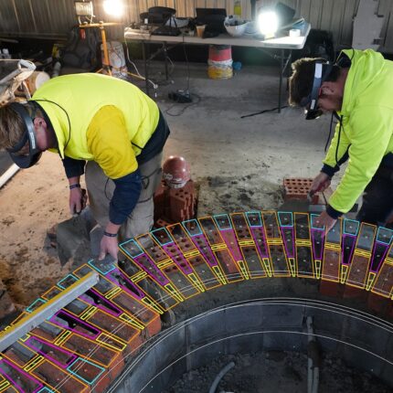
Fologram
Fologram is a mixed reality software platform designed specifically for the Architecture, Engineering, and Construction (AEC) industries.expand_more It bridges the gap between digital models (primarily in Rhino and Grasshopper) and the physical construction site.expand_more Fologram allows users to stream 3D models directly to devices like the Microsoft HoloLens, visualizing designs at scale on-site, providing step-by-step fabrication instructions, and facilitating model coordination.expand_more This aims to streamline communication, improve accuracy, and reduce rework in the construction process.expand_more

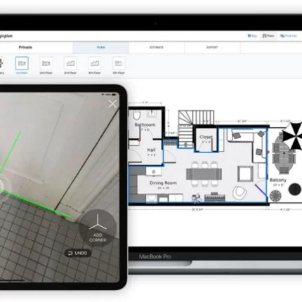
Magicplan
Magicplan is a mobile application (iOS and Android) that lets users quickly generate floor plans using the camera on their smartphone or tablet. It leverages augmented reality (AR) technology to capture room dimensions, lets you add objects like furniture or fixtures, and can generate 2D and 3D floor plans, including reports, estimates, and 360-degree panoramas.

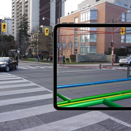
vGIS
vGIS is a software company that provides an augmented reality (AR) platform designed for the AEC (Architecture, Engineering, Construction) industry and utilities sectors.expand_more Their platform seamlessly integrates 2D GIS, 3D BIM, and reality capture data into a unified AR environment.expand_more This allows users to visualize complex designs, infrastructure models, and as-built data overlaid onto the real world with centimeter-level accuracy.expand_more vGIS aims to streamline decision-making, improve coordination, reduce errors on-site, and enhance communication between stakeholders throughout the project lifecycle.expand_more